Capacity Building for the Canadian North
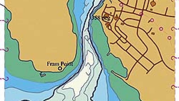
Gjoa Haven is a small Arctic hamlet located on the east side of King William Island in the Canadian Arctic Archipelago. It is a place made famous by Roald Amundsen, the first explorer to successfully transit the Northwest Passage in 1903–1905. The native Netsilik people guided Amundsen to a narrow passage, which would allow him to proceed further westward. The passage is known today as Simpson Strait and, in the summer months, is the only way westward to the open waters of Queen Maud Gulf and eventually the Pacific Ocean beyond.
Simpson Strait is a rather tedious passage requiring numerous changes in course and is subject to strong currents in the narrows. Just over a decade ago, chart coverage of the strait was largely based on off-datum reconnaissance surveys but, following the 1996 grounding of the 8,400-tonne passenger liner M/V Hanseatic in Simpson Strait, a hydrographic survey programme was initiated by the Canadian Hydrographic Service (CHS) to complete a survey of a corridor through the Strait, validate and transform all existing data to produce "on-datum" nautical products, including a set of GPS waypoints to clear the Strait.
Greatest Increase
Since the publication of both the ENC and paper chart of Simpson Strait, commercial vessel traffic has increased throughout this part of the passage. Having led those surveys and calling into Gjoa Haven many times since, I would argue that, for at least today, Gjoa Haven has seen the greatest increase in vessel traffic out of any port in Canada. This is evident by the fact that, at the time of writing, there are two passenger liners (including the Hanseatic), three sailing yachts and an icebreaker in port. Tomorrow, Gjoa Haven will be re-supplied by an ocean-going cargo ship M/V Camilla Desgagnes with roll-on-roll-off (RoRo) and self-unloading capabilities.
Economic Advantage
Last summer, this same ship was the first deep-draft cargo vessel ever to service the ports on this side of the Northwest Passage. Their passage was aided by the use of GPS waypoints derived from a recent large-scale provisional ENC of James Ross Strait. Prior to the advent of deep-draft access to these remote northern ports, both freight and fuel were shipped by either aircraft or by sea-going tug and barge. There is an economic advantage to having deep-draft access to northern ports in that shipping costs are significantly reduced.
Alternative Routes
Additionally, improvements to nautical charting in the Canadian Arctic will enable vessels to find alternative routes to avoid ice, thus reducing the cost to the public purse for icebreaker escort. Simply stated, through modern surveys and charting, complementing modern aids to navigation and improvements to marine infrastructure, hydrographers are playing a significant role in attracting and enabling more cost-effective means of transportation to support freight, passenger traffic and tourism in the Arctic. Perceptions must change as the cost for modern hydrographic surveying and charting needs to be considered an investment in capacity building for the Canadian North as with other developing lands.

Value staying current with hydrography?
Stay on the map with our expertly curated newsletters.
We provide educational insights, industry updates, and inspiring stories from the world of hydrography to help you learn, grow, and navigate your field with confidence. Don't miss out - subscribe today and ensure you're always informed, educated, and inspired by the latest in hydrographic technology and research.
Choose your newsletter(s)


