Launching ceremony of the Historical Maritime Atlas of Colombia XVI – XVIII
The launching ceremony of the Historical Maritime Atlas of Colombia XVI-XVIII was organised by the General Maritime Directorate of the Colombian Navy (the head of which is Rear Admiral Pablo Emilio Romero Rojas), took place on 16 April 2015 in the National Museum of Bogotá, a splendid building in the city centre of Bogotà.
The initiative to create the Atlas was taken by the president of the Colombian Oceanic Commission, Dr. Germán Vargas Lleras, and was implemented by the executive secretary of the Commission Rear Admiral Juan Manuel Soltau Ospina under the aegis of the chief of the Navy Admiral Hernando Wills Velez. The task of collecting the maps and charts was assigned to a team of researchers led by Dr. Nara Fuentes Crispín, who wrote the text of the Atlas.
The work was accomplished in a relatively short time. Support was requested from the Spanish Naval Museum (Madrid) and the Hydrographic Institute of the Spanish Navy (Cádiz) and the French National Library (Paris) and this was extremely helpful.
An international audience attended the ceremony and included representatives of the Spanish and Italian Embassy and the author of this short article.
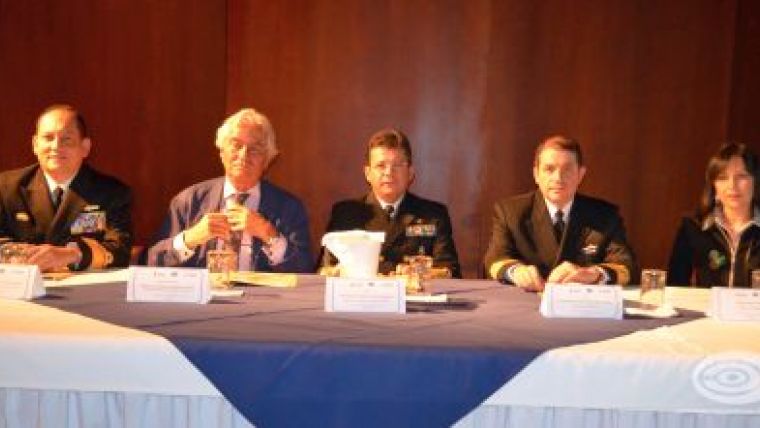
Speeches were given by the president of the Oceanic Commission, by the Spanish Ambassador in Colombia HE Ramón Gandarias Alonso de Celis, by Rear Admiral Juan Soltau and by the author of the Atlas Dr. Nara Fuentes Crispín. They explained that the scope for compiling the Atlas was mainly to contribute to and increase the maritime culture and the education of students and scientists. The content of the Atlas was explained in detail. Mention was also made, amongst other, of the Italian Cartographer Amerigo Vespucci (or Americus Vespucius in Latin).
At the end of the speeches, copies of the Atlas were distributed to the attendees visiting the cartographic exhibition.
The next initiative will be the compilation of the second volume of the Atlas, which will include the nautical charts of the XIX Century and the Colombian Oceanic Commission will again request the assistance of organisations that possess in their archives maps, charts and documents related to the Colombian coasts published in that century.
The Colombian Oceanographic Commission and the General Maritime Directorate should be applauded for this cultural initiative.

Value staying current with hydrography?
Stay on the map with our expertly curated newsletters.
We provide educational insights, industry updates, and inspiring stories from the world of hydrography to help you learn, grow, and navigate your field with confidence. Don't miss out - subscribe today and ensure you're always informed, educated, and inspired by the latest in hydrographic technology and research.
Choose your newsletter(s)


