Map the Gaps: connecting people and oceans
Empowering ocean exploration by increasing diversity, one project at a time
Map the Gaps is cultivating and empowering a growing network of professionals, organizations and communities working together to create new ways for interacting with, understanding and protecting the seafloor. It helps to increase diversity, equity and inclusion in the ocean mapping community and provides access to discovery expeditions and leading technology.
Map the Gaps’ vision is to promote discovery, knowledge and connection to the oceans and coastal communities by enabling and empowering a diverse global network of relevant professionals.
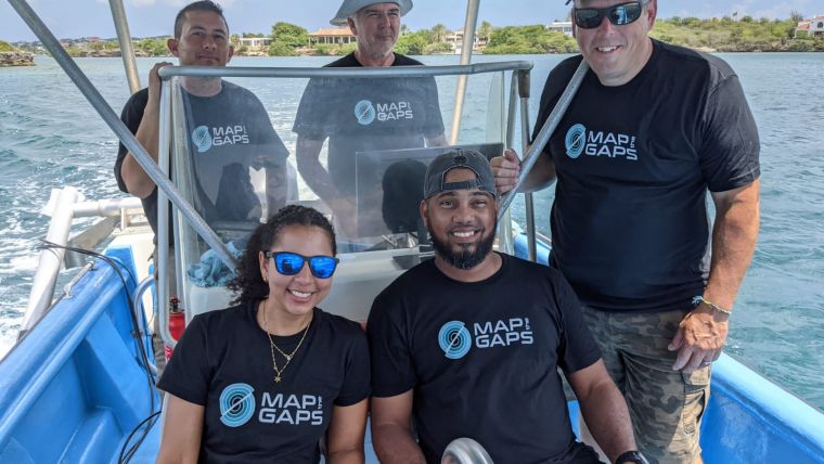
The people of Map the Gaps
When a small group of early-career ocean professionals, all alumni of the Nippon Foundation/GEBCO Training Program, put together a proposal in response to the Shell Ocean Discovery XPRIZE competition, little did they know that over the next three years, they would cultivate a diverse and remote team of people from all over the world, work closely with an advisory team of experts and industry partners, raise over US$6M, spur the launch of a commercial USV company, and win the prestigious distinction of Grand Prize Winner of this global challenge.
When the smoke cleared, a core group reflected on their triumph and decided to coalesce their experiences into a shared mission of supporting ocean discovery, but with an aim to empower others to get involved while at the same time contributing to new discoveries. In 2019, Map the Gaps was founded as a US-based 501(c)3 non-profit organization by a small group of volunteers dedicated to changing the face of ocean discovery.
Map the Gaps draws on an international community of ocean explorers, conservationists, educators and early-career scientists. Representing a diverse global network, many are the 100+ alumni of the Nippon Foundation/GEBCO Training Program, having studied ocean mapping at the University of New Hampshire’s Center for Coastal and Ocean Mapping since the start of this training programme in 2004. Others are passionate professionals, NGOs, commercial partners, ocean community leaders and interested individuals.
One of the short-terms strategic goals of Map the Gaps is to increase the network and diversity of people involved in Map the Gaps and to grow and scale meaningful relationships with partners and collaborators.

The projects of Map the Gaps
Committed to empowering others to make a difference in ocean exploration, Map the Gaps operates primarily under a services model, supporting scientific exploration, conservation and ocean discovery. Map the Gaps works with partnering organizations who sponsor expeditions, fund data processing projects or engage to provide training opportunities. Serving through the provision of ocean discovery opportunities, while increasing global knowledge of our oceans, is only a portion of what Map the Gaps does. Outreach and engagement with communities outside the norm helps to provide inspiration and empowerment to the next generation of knowledge workers everywhere. Map the Gaps will achieve this by building on existing collaborations and partnerships with industry, academia and philanthropists.
The role that Map the Gaps can play in supporting a global initiative to better understand our planet is best described through some example projects.
Uncrewed Trans-Atlantic Survey (UTAS) was an uncrewed over-the-horizon bathymetric survey in UK waters undertaken in July/August 2020. The survey was carried out by SEA-KIT’s USV (USV Maxlimer) mounted with a Kongsberg EM710 multibeam. Along with project partners, Map the Gaps managed the survey operations and data acquisition, data processing and production of the final data products. This was undertaken using Teledyne CARIS Mira AI and a globally distributed team, all while working remotely. Data was post-processed by Map the Gaps, allowing the evaluation of different approaches using tools for data processing and product generation. Funding for Map the Gaps came from the Nippon Foundation-GEBCO Seabed 2030 Project, and all data was turned over to this global initiative. This proof-of-concept project demonstrated the value of remote surveying and processing operations with a global network of Map the Gaps surveyors.
Caladan Oceanic required in-person and remote capabilities for the mapping operations of the DSSV Pressure Drop over a three-year period from 2020 to 2022. Map the Gaps’ surveyors supported the deep-dive campaigns undertaken by the Limiting Factor manned submersible through seafloor mapping and relevant product development. In addition to this more commercial role, Map the Gaps was also supported by the Nippon Foundation-GEBCO Seabed 2030 Project for transit mapping. Victor Vescovo understood the critical value of data collected during transits as an important contribution towards helping to map our oceans.
World-renowned aquanaut, Fabien Cousteau, has the ambitious goal of developing and deploying the ocean equivalent of the International Space Station – PROTEUS. In conjunction with the Fabien Cousteau Learning Center, Proteus Ocean Group, R2 Sonic, QPS and Carmabi, Map the Gaps coordinated and led an exploration mission to provide detailed bathymetry of the entire Curaçao marine protected area. This dataset, never surveyed in high resolution before, will be used to prepare for the design and planning of the PROTEUS underwater research station. Specialists were selected from neighbouring communities, further reinforcing Map the Gaps’ commitment to empowering regional resources where possible.
The GO-MARIE (Glacier Ocean Mapping and Research Interdisciplinary Effort) Bathymetry for Science Greenland 2022 expedition was a proof-of-concept project that demonstrated that a low-carbon solution, a repurposed 22-metre steel-hulled schooner, can be used for bathymetric data acquisition in a rugged and challenging environment. The sail-powered survey vessel also operates at a fraction of the cost of a traditional hydrographic survey vessel. Ocean Research Project, Map the Gaps and a wide range of technology supporters (Trimble, R2 Sonic, Applanix, RBR, etc.) participated in this successful endeavour, with financial support from the Nippon Foundation-GEBCO Seabed 2030 Project. Map the Gaps was involved in this project from early on and assisted in development, fundraising and planning as well as the mapping operations.

Outreach of Map the Gaps
Exploration and bathymetric survey support are only a part of what Map the Gaps provides to the ocean community. The Map the Gaps Symposium on ocean discovery, convened on behalf of GEBCO, raises awareness of the importance of ocean exploration by bringing together a wide range of individuals interested in or engaged with ocean discovery. As a hybrid event open to all, the symposium seeks to expand and diversify the community of individuals and organizations passionate about the oceans. Interesting topics such as ocean exploration technologies, expeditions, data and information pipelines, policies and communications are shared and discussed.
Map the Gaps holds training courses for the participants of the IHO-Nippon Foundation GEOMAC project. This workshop-style course allows Map the Gaps trainers to introduce basic ocean mapping techniques and concepts to cartographic students and strengthens the broader Nippon Foundation alumni network.
The future of Map the Gaps
The short-term strategic goals of Map the Gaps are to increase funding levels to support the ongoing development of the extended network, and to foster the creation of more expeditions and opportunities for an increased community. Additional funds will also provide for the expansion of the outreach goals, to include training/webinars, partnerships and growth of the Map the Gaps Symposium.
All of the above will raise awareness of the importance of ocean discovery, increase exploration opportunities and the diversity of the ocean community.
In conclusion, Map the Gaps has involved over 20% of the Nippon Foundation/GEBCO Training Program alumni in its projects, and has distributed over US$300,000 to this global network of professionals since its inception in 2019. The economic impact of this cannot be overstated. Their professional development, local economy and region all benefit from the Map the Gaps model. The model allows ongoing skills development for individuals, and increases knowledge through involvement in cutting-edge and/or proof-of-concept projects. This capacity development is then shared with individuals and their ocean-based communities who might otherwise never have this opportunity. A necessary conversation has started about the importance of diversity within global communities, equity among partnerships and inclusivity in collaborations.
Map the Gaps is contributing to a better understanding of the Earth’s oceans, while simultaneously empowering exploration by increasing diversity in the ocean community and providing a direct economic impact on the lives and local economies of this group of connected people.


Value staying current with hydrography?
Stay on the map with our expertly curated newsletters.
We provide educational insights, industry updates, and inspiring stories from the world of hydrography to help you learn, grow, and navigate your field with confidence. Don't miss out - subscribe today and ensure you're always informed, educated, and inspired by the latest in hydrographic technology and research.
Choose your newsletter(s)


