Advances in autonomous and uncrewed surveying
An increasing number of hydrographic and oceanographic surveys are carried out without a pilot aboard. The advantages of uncrewed vessels are multifold, and applications range from subsea inspection to hydrographic and geophysical surveys and beyond. We selected three inspiring examples of how autonomous survey methods are set to revolutionize the hydrography industry.
Seabed 2030 and the high seas
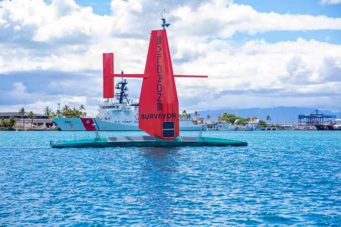
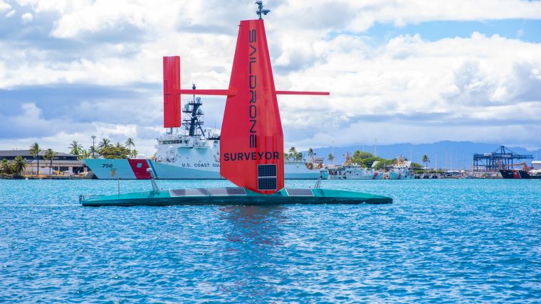
To achieve the aggressive goals of Seabed 2030, uncrewed survey systems must be used to augment more traditional ocean mapping efforts, particularly on the high seas. In addition to providing a much-needed force multiplier for surveying, these systems lower environmental impacts by using harvestable energy, eliminating personnel at sea and reducing ship-generated noise, overboard discharge and potential for pollution. Saildrone Surveyor, a 22m Unmanned Surface Vehicle (USV), recently completed a mapping mission that traversed approximately 4,200 kilometres and mapped nearly 22,000 square kilometres (see box) of previously unmapped seafloor. Primarily powered by solar and hydro energy and propelled by wind, Saildrone Surveyor ushers in a new era of long endurance, low impact (LELI) USVs for ocean mapping.
Read the full story here.
Testing uncrewed survey methods
The SHOM – the French national hydrographic service – is planning to replace most of its ageing sea-going assets in the near future and, in this context, a four-week sea trial took place in Brest, on the Atlantic coast of France, in September 2020. These trials involved two DriX Unmanned Surface Vessels (USVs), as well as the French Navy hydro-oceanographic vessel Beautemps-Beaupré, in an area very familiar to the SHOM, where major differences between traditional survey methods and autonomously executed surveys could easily be spotted and analysed.
Remote technology to advance the offshore wind industry
During the life cycle of offshore wind farms (OWFs), operators must maximize the uptime of wind turbines to generate as much energy as possible. As OWFs are constructed further from the coast, maintenance and inspection with crewed vessels becomes increasingly risky, time-consuming and expensive. To overcome this challenge, the industry is turning to remote and autonomous technological solutions that can support OWFs far out at sea.