Found 4981 results
Sort by

The role of satellite-based mapping in hydrography

By harnessing capabilities of advanced satellite technology and ever-evolving data analysis, satellite-based mapping (including satellite-derived bathymetry, SDB) offers an efficient, extensible and cost-effective method for mapping water properties, underwater topography...

Read more

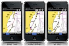
Mobile 2.0 for iPhone

Navionics will be hitting the water with the newest version of our Mobile App created specifically for iPhone users. The charts are available for an expert mariner already familiar with...

Read more

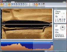
StarFish v2.0

Tritech International Ltd announce the launch of the new StarFish, Scanline V2.0 Software. StarFish is a side-scan sonar which produces images of the seabed and has improved capabilities. Tritech are...

Read more

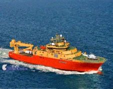
DeepLive 2.0 for DeepOcean

General Robotics is shipping DeepLive 2.0, its real-time data input module. The first customer is DeepOcean AS for its new Inspection, Maintenance & Repair (IMR) vessel, the Edda Fauna which...

Read more

Norcom Technology 20 Years

Twenty years ago, Norcom Technology first began to develop their bespoke software for the hydrographic industry. The company started by Phil Harris in 1986 employed just one other computer programmer,...

Read more