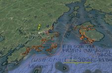
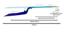
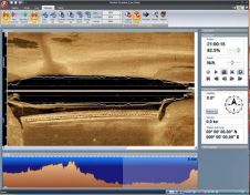
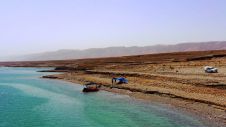
Found 3755 results
Sort by

Multi-sensor Coastal Mapping

Fugro has tested a multi-sensor approach to balance growing data needs with limited agency budgets. Coastal mapping programmes are quickly becoming a priority for government agencies across the globe. The desire...

Read more

Coastal Risk Assessment

SHOM contributes routinely to the preparedness against coastal risks along French coastlines. For this purpose, regional to coastal digital elevation models are built for implementation in forecast systems against rapid...

Read more

Mobile 2.0 for iPhone

Navionics will be hitting the water with the newest version of our Mobile App created specifically for iPhone users. The charts are available for an expert mariner already familiar with...

Read more

StarFish v2.0

Tritech International Ltd announce the launch of the new StarFish, Scanline V2.0 Software. StarFish is a side-scan sonar which produces images of the seabed and has improved capabilities. Tritech are...

Read more

DeepLive 2.0 for DeepOcean

General Robotics is shipping DeepLive 2.0, its real-time data input module. The first customer is DeepOcean AS for its new Inspection, Maintenance & Repair (IMR) vessel, the Edda Fauna which...

Read more