The New Role of Hydrography in the 21st Century
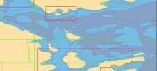
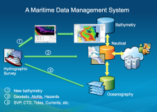
Traditionally, hydrographic data was used mainly for nautical charts. Hydrographic surveys are costly, and data should be used beyond navigation. Some have developed centralised hydrographic databases, but their only purpose...