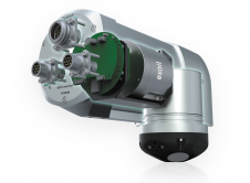
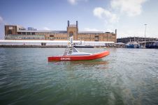
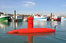
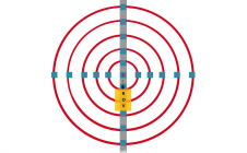
Found 3185 results
Sort by

Hydrographic surveying goes green

Amid new climate policies, the global energy transition is in full swing. This is leading companies and organizations to take a variety of measures to make their business operations more...

Read more

Julià Talaya

Julià Talaya holds a PhD in Applied Mathematics. He has worked for ICGC for 32 years in various management roles, including GNSS positioning, aerial surveys, remote sensing and cartography. He...

Read more

Introducing the Denmark Depth Model

The Denmark Depth Model (DDM) is a digital bathymetric model covering Denmark’s exclusive economic zone (EEZ). It was developed based on hundreds of bathymetric survey datasets and historical sources and...

Read more