Found 165 results
Sort by

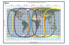
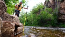
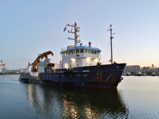
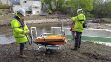
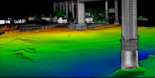
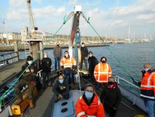
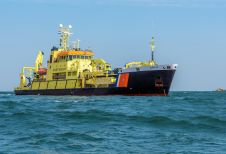
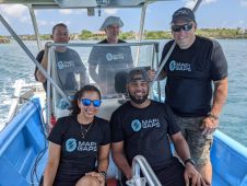
Map the Gaps: connecting people and oceans

Map the Gaps is cultivating and empowering a growing network of professionals, organizations and communities working together to create new ways for interacting with, understanding and protecting the seafloor. It helps...

Read more

Marinestar global satellite positioning

Fugro Marinestar measures GNSS satellite orbit and clock corrections for GPS, GLONASS, Galileo and BeiDou. These corrections are sent over six geostationary L-band satellites and over internet and can be...

Read more

Shipwreck Monitoring in the North Sea

In order to guarantee nautical depths, the Rijkswaterstaat survey department runs an annual seabed monitoring programme. In July 2019, research vessel MS Arca left its homeport of Scheveningen, the Netherlands, to conduct a shipwreck survey that included a World War One submarine. In order to guarantee nautical depths, the Rijkswaterstaat survey department runs an annual seabed monitoring programme. In July 2019, research vessel MS Arca left its home port of Scheveningen, the...

Read more