The Art of Bathymetry
Great advancements have been made in three dimensional printing over the last few years and have made an impressionable impact across a variety of industries. 3D printings’ versatility can be...
Great advancements have been made in three dimensional printing over the last few years and have made an impressionable impact across a variety of industries. 3D printings’ versatility can be...
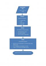
Knowing the volume of material present in a gravel quarry can make the difference between profit and loss. A gravel quarry in Hartheim am Rhein, southwest Germany, is partially covered...
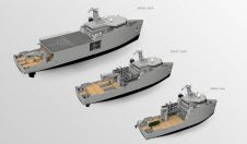
During the Oceanographic Survey Vessel Conference, held in London, UK, from 7-9 June 2016, Damen Shipyards Group announced the introduction of a range of multi-role auxiliary vessels (MRAVs). The common...
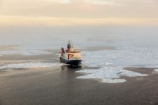
Scientists from the Alfred Wegener Institute, Helmholtz Centre for Polar and Marine Research (AWI) are setting out with the research vessel Polarstern towards Spitsbergen, to use newly developed equipment in...
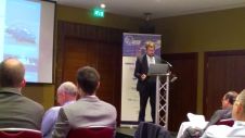
I was amazed to learn that the topography of planet Mars is better known than the topography of our own seabed. This fact was echoed by Admiral Bruno Frachon, the...
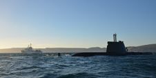
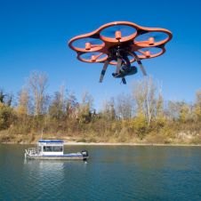
Several different Unmanned Surface Vessels (USVs), Autonomous Underwater Vehicles (AUVs) and Unmanned Aerial Vehicles (UAVs), equipped with different sensors and acoustic payloads, are being used together in the seventh annual...
Advances in marine & terrestrial scanning survey techniques together with precise inertial navigation sensors, multi-sensor acquisition systems and cost-effective UAS photogrammetry allow hydrographic surveyors to undertake high-precision marine asset integrity...
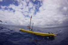
Liquid Robotics, USA, and its Japanese partner, Hydro Systems Development (HSD), have successfully delivered the first fleet of Wave Gliders to the Japan Coast Guard. Liquid Robotics and HSD will assist...
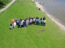
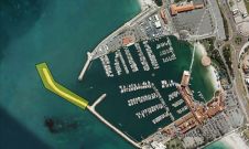
Twenty 3rd-year students of ocean technology from the Maritime Institute Willem Barentsz (MIWB, The Netherlands) participated in the 4th edition of the Lake Survey. Building on last year’s experience and...
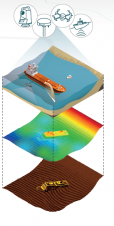
Charting underwater structures, soils and project progression using GPS, sonar, single and multibeam systems produces a huge amount of data that needs to be analysed. Vast project areas can be...
This site uses cookies. By continuing to use this website, you agree to our Cookies Policy. Agree