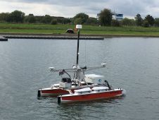
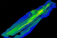
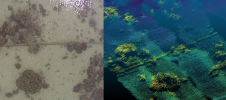
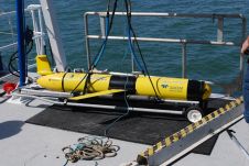
Found 137 results
Sort by

Dr. Conor Cahalane

Dr. Conor Cahalane performs applied research using satellite, airborne and UAV data for coastal mapping and monitoring at the National Centre for Geocomputation (NCG), Maynooth University and the Irish Centre for...

Read more

Benjamin Busse

Benjamin Busse is a UAV pilot and expert in cartography and geomatics at the Karlsruhe-based Ingenieur Team GEO engineering office.

Read more

Optimizing Workflows on the Maritime Information Highway

By providing vessel-to-vessel and vessel-to-shore communication independent of satellite or cellular networks, the Maritime Broadband Radio (MBR) system from Kongsberg introduces possibilities to transform survey operations. Potential applications include delivery...

Read more