Found 256 results
Sort by

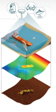
Dredging Point-cloud Software

Charting underwater structures, soils and project progression using GPS, sonar, single and multibeam systems produces a huge amount of data that needs to be analysed. Vast project areas can be...

Read more

Bering Strait ASV Deployment

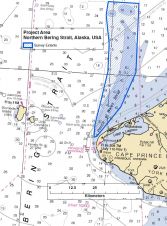
TerraSond, a hydrographic services company based in Palmer, Alaska (USA), utilised an unmanned Autonomous Surface Vessel (ASV) to assist with the acquisition of survey data in July of 2015 in...

Read more

Searching for HMS Terror

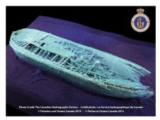
“We know where the target is not located” is the only guaranteed result of any search expedition. This statement does not make for exciting headlines, however, the value of knowledge...

Read more

Designing a New Way to Deliver Marine Weather Data

Mariners rely on many sources of information during daily operations to ensure their safety at sea; nautical charts and weather information are critical and can sometimes lead to life-changing decisions. The ways in which navigation and weather data are created, disseminated and displayed by mariners are drastically different, having made integration of this information difficult in the past. NOAA and the Brazilian Navy Hydrographic Center are working together to develop a new methodology and international standard that will allow weather forecasts and analyses to be displayed like navigational charts: as an overlay on Electronic Chart Display and Information Systems (ECDIS). Mariners rely on many sources of information during daily operations to ensure their safety at sea. Nautical charts and weather information are critical and can sometimes lead to life-changing decisions....

Read more

Excited by Automation Driven by Autonomous Vehicles

NOAA is one of the bigger organisations in the world that has surveying and charting in its portfolio. It’s an immense task as the USA has about 95,000 miles of coastline, important ports and a wide range of users – from recreational boaters to the biggest container vessels and tankers. The country also has to deal with environmental disasters like hurricanes and oil spills. NOAA is undergoing changes as the chart portfolio is ‘going digital’ and new initiatives such as using Maritime Autonomous Systems (MAS) for surveys. Hydro International interviews Capt Shep Smith, who generously gave an insight behind the scenes. NOAA is one of the bigger organisations in the world that has surveying and charting in its portfolio. It’s an immense task as the USA has about 95,000 miles of...

Read more