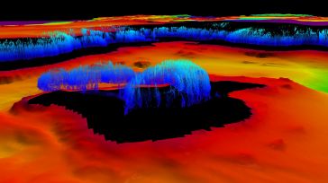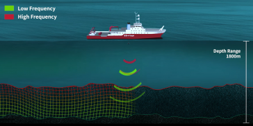
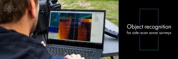
Object recognition for side-scan sonar and video feeds
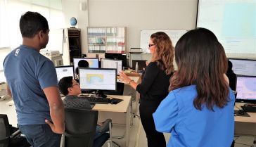
Finding something underwater is a challenging task, and side-scan sonars for seafloor imaging are the core tool for such missions. To identify an object, even an experienced operator sometimes spends ...