3D at Depth Launches Moving Platform-integrated Subsea Lidar Solution
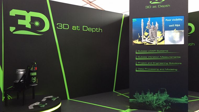
3D at Depth has launched a moving platform-integrated Lidar technology solution for subsea data collection and survey projects. 3D at Depth is showcasing the technology during the Ocean Business event being held in Southampton, United Kingdom, from 4-6 April 2017. The product is on demonstration at booth D10.
Over the past year, 3D at Depth’s research and development team have spent considerable time developing a subsea Lidar solution focused on AUV, ROV and manned underwater vehicle deployment. The result is a product that will reduce overall survey time while delivering high-density point clouds for greater accuracy in data modelling and measurement.
During a ROV trial, 3D at Depth successfully integrated and collected motion compensated subsea Lidar data of an oilfield in water depths greater than 2,000 metres using an ROV-mounted system. The trial took place in December 2016 and validated the capability of Inertial Navigation Systems (INS) aided subsea Lidar for a variety of applications including field mapping and spool metrology surveys. Within the 10-hour trial, the INS aided 3D at Depth SL1 collected more than 200 million points in 79 passes at altitudes ranging from 2 to 20 metres. The resulting high-density point clouds were output into a robust industry standard e57 format that included geo-referenced spatial coordinates and the intensity of each laser pulse. The intensity value is unique to the SL sensors as this information defines specific features including pipeline field joints, stencilled lettering on structures and umbilical’s on the seabed. The data from this and other trials will be used for the product launch at Ocean Business using a virtual reality platform to take participants “subsea” through the headsets.
Over the next few months, 3D at Depth will be rolling out a manned underwater vehicle version to coincide with their partnership with OceanGate Inc. The AUV and ROV version has been utilised since 2013 on different development programmes.

Value staying current with hydrography?
Stay on the map with our expertly curated newsletters.
We provide educational insights, industry updates, and inspiring stories from the world of hydrography to help you learn, grow, and navigate your field with confidence. Don't miss out - subscribe today and ensure you're always informed, educated, and inspired by the latest in hydrographic technology and research.
Choose your newsletter(s)


