Hydrographic Elements of INSPIRE
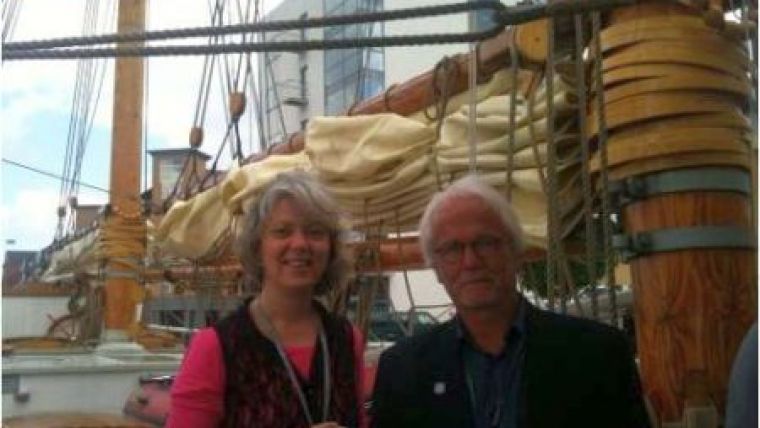
Just before the INSPIRE Conference 2014 in Aalborg, Denmark, about 30 people sat together on board the Barkentina LOA, a beautiful tall ship. They discussed how to make better use of marine data within a Spatial Data Infrastructure. Professor Esben Munk Sørensen of Aalborg University and Ellen Vos of the Netherlands Hydrographic Service, Royal Netherlands Navy, organised this marine SDI workshop on Monday 16 June 2014. A short summary of the outcome is given below.
As we know so little about the European waters and capturing marine data is costly, we need a European focus on marine SDI along the value chain of the data. From planning the measurements or data collection campaigns, to its final use for all types of decision making, research, monitoring or other uses.
Data capturing (both by industry and civil authorities) needs to be coordinated in close cooperation with all stakeholders. Ships can act as sensors and the smart re-use of existing technologies and standards can open up useful opportunities to new sources of crowdsourced data, e.g. depth information measured by the ship included in AIS data.
Data distribution should be in accordance with INSPIRE principles and ways to re-use industry data should be investigated.
One important theme is bathymetry/hydrographic surveying under Annex II Elevation. As depth information for safety of navigation always exaggerates dangerous shoal waters, metadata is important for proper re-use of depth information for uses other than navigation.
Requirement capturing should be organised in new ways as new players appear on the horizon contributing to Blue Growth. This should result in clear business cases and can simply mean that the existing business case of the security sector/EMSA in the INSPIRE setting be repeated. Perhaps Spatial Data Services can help to meet these specific needs.
Lessons can be learned from the military that developed concepts like the Recognized Environmental Picture. These concepts have been made operational in procedures and data production programmes, fit for the task at hand. ‘Additional Military Layers’ are an example of re-using the global hydrographic standards and data for purposes other than navigation.
New partnerships should be stimulated within the golden triangle of academia, industry and government. Traditional players, like Hydrographic Offices, should be mobilised as key players with knowledge about the marine environment, and liaise with European policy makers to overcome barriers to sharing data based on traditional stove-piped business models.

Value staying current with hydrography?
Stay on the map with our expertly curated newsletters.
We provide educational insights, industry updates, and inspiring stories from the world of hydrography to help you learn, grow, and navigate your field with confidence. Don't miss out - subscribe today and ensure you're always informed, educated, and inspired by the latest in hydrographic technology and research.
Choose your newsletter(s)


