Trimble Partners with Teledyne to Distribute Software for Hydrography and Dredging
Trimble is to distribute a branded version of Teledyne's PDS software package for hydrographic survey, construction and dredging operations, called Trimble Marine Construction Software. The software will provide accurate measurement and positioning to improve marine construction efficiency and safety. The announcement was made at ConExpo 2017, one of the world's largest international exhibitions for the construction industry.
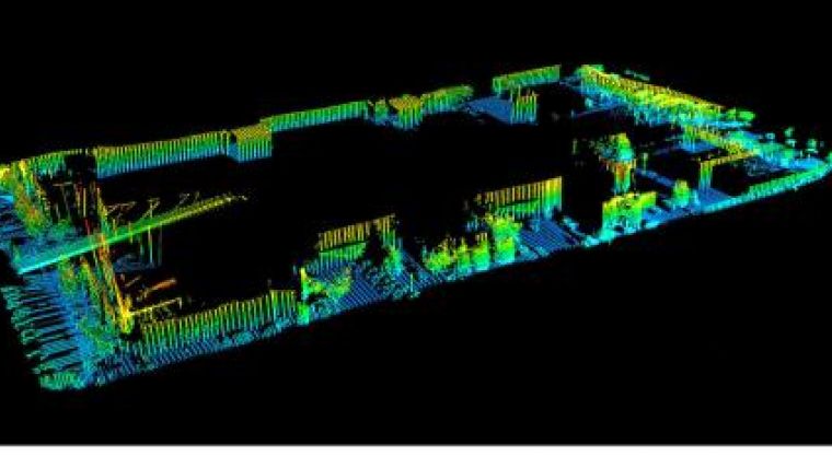
Trimble Marine Construction Software expands Trimble's portfolio and extends its connected approach for marine construction companies to enable accurate and robust real-time 3D visualisation applications. The software combined with 2D and 3D sonar provides underwater vision in the most challenging inshore underwater environments and conditions.
Marine Construction Applications
Construction applications for Trimble Marine Construction Software include dredging, cable lay applications, monopile placements, building breakwaters, windmill parks, pipe lay monitoring, rock dumping, excavating, barge management and more.
Dredge applications for the software support hydraulic excavators, wire cranes, bucket dredgers, underwater ploughs, trailing suction hopper dredgers (TSHD) and cutter suction dredgers. The software provides real-time visualization of the dredge head or excavator bucket essential for precise operations to avoid over-dredge or rework. With Trimble Marine Construction Software, the operator can see the actual versus planned surface in 3D, profile and long-section views. It guides the operator to the desired surface and determines the cut or fill to provide a market-leading dredging solution.
Hydrographic Measurements
Hydrographic applications for the software include measuring the seafloor or riverbeds for hazardous areas, dredge progress tracking, revetment surveys, maintenance surveys and safe navigation.
The software provides real-time sensor data gathering, computation, display and logs. The data can be displayed either graphically or alphanumerically. It has options to verify the data, remove anomalies and outliers, either manually or automatically. The clean data can be presented in the form of models, tables, files, volumes, nautical charts or reports.
The Trimble Marine Construction Software is expected to be available in the second quarter of 2017 through Trimble's Marine Construction Dealer Channel.

Value staying current with hydrography?
Stay on the map with our expertly curated newsletters.
We provide educational insights, industry updates, and inspiring stories from the world of hydrography to help you learn, grow, and navigate your field with confidence. Don't miss out - subscribe today and ensure you're always informed, educated, and inspired by the latest in hydrographic technology and research.
Choose your newsletter(s)


