NOAA Evaluates Development and Distribution of Charts and Publications
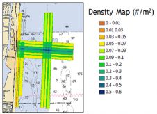
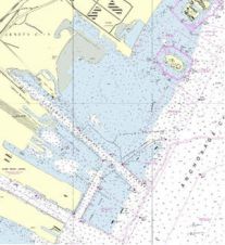
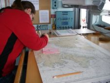
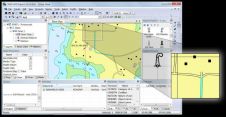
The US Office of Coast Survey, National Ocean Service, National Oceanic and Atmospheric Administration (NOAA), Department of Commerce is privatising the printing and distribution of nautical charts, including digital charts,...