Found 631 results
Sort by

Leica Geosystems Enters Lidar Bathymetry Market

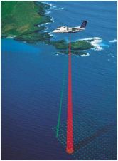
Leica Geosystems is strengthening its market position in airborne surveying through Hexagon’s acquisition of Airborne Hydrography AB (AHAB, Sweden), a provider of airborne laser survey systems for hydrographic and topographic...

Read more

CHS Contracts for Airborne Lidar Bathymetry

Fugro GeoSurveys, Canada, has been awarded a ‘Supply Arrangement’ by the Canadian Hydrographic Service (CHS) to provide Airborne Lidar Bathymetry (ALB) survey services. CHS will predominantly use this contract to...

Read more

Lidar Allows Sandy River to be Mapped

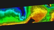
In September 2012, Watershed Sciences, Inc. (WSI) and Dewberry collected airborne topobathymetric Lidar data for the Sandy River in Oregon, USA. These data are being used to map channel and...

Read more