GNSS PPP-RTK Workshop and Gravity at Sea Symposium
Hydrographic Society Benelux
GNSS PPP-RTK Workshop
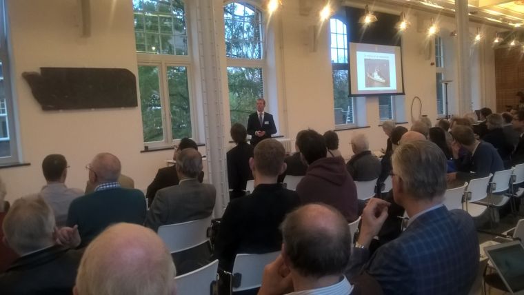
Hosted by the Offshore and Energy Exhibition at the Amsterdam RAI Conference Centre, the Hydrographic Society Benelux presented the GNSS PPP-RTK workshop in the parallel programme on 14 October 2015. Global Precise Point Positioning (PPP) at decimetre level has been possible for the last 10 years. In the last year real-time kinematic (RTK) techniques using fixing of ambiguities have become possible. This allows centimetre level accuracy on a global scale. During the workshop main service suppliers in the market and uses of PPP-RTK in offshore applications were highlighted as were general techniques. The event was attended by over 100 delegates who were also able to visit the show floor.
Four presentations were made. Pieter Toor (GNSS Technology manager at Veripos) presented Enabling RTK-like positioning offshore using the global VERIPOS GNSS network. He was followed by Matthew Goode (geodesist, Fugro-Intersite) on G2+ worldwide positioning services. After a coffee break, Marco Kwanten (project surveyor at Allseas) explained aspects of Positioning the Solitaire – the largest pipelaying vessel of the company and gave an insight into the challenges this brings. The last speaker of the afternoon was Wim Kanneworff (chief surveyor Project Gemini, Van Oord Offshore Wind Projects bv). He gave a presentation on Gemini – Wind farm positioning beyond the horizon.
Gravity Expedition at Sea Symposium
The Hydrographic Society Benelux cooperated with the Gravity Expedition at Sea symposium that took place on 11 November 2015 in the Science Centre of the Technical University in Delft. This concluded a project by Delft University of Technology that focused on that subject. The symposium highlighted aspects of geodetic and geophysical science, particularly on Prof Vening Meinesz and the cooperation with the Royal Netherlands Navy. He went on a voyage with a submarine, the K XVIII, to conduct subsea gravity measurements in order to map anomalies on the seafloor.
Several speakers gave a presentation on the Beagle cruise that followed the itinerary the voyage Vening Meinesz undertook but in the opposite direction; this included details on the submarine, how to make technical science accessible for a wide audience, historical mechanical clocks, the heritage of Vening Meinesz’ work, the cooperation between the Royal Netherlands Navy and science, and the search for the lost submarine O13.
After the presentations in the beautiful Mekel room, there was an opportunity to see a range of vintage measuring devices including the gravity machine Vening Meinesz used, chronographs and a model of the submarine K XVIII.

Value staying current with hydrography?
Stay on the map with our expertly curated newsletters.
We provide educational insights, industry updates, and inspiring stories from the world of hydrography to help you learn, grow, and navigate your field with confidence. Don't miss out - subscribe today and ensure you're always informed, educated, and inspired by the latest in hydrographic technology and research.
Choose your newsletter(s)


