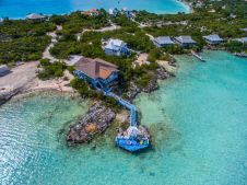
This Is How Airborne Multibeam Lidar Coastal Mapping is Done in Paradise
The Rapid Airborne Multibeam Mapping System, RAMMS, was developed over a period of three years before it was officially launched in the summer of 2018. Senior hydrographer Richard Goosen describes how Fugro used the system for coastal and nearshore mapping at the paradisal Turks and Caicos Islands. Insight into the use of the Rapid Airborne Multibeam Mapping System (RAMMS) for coastal and nearshore mapping at the paradisal Turks and Caicos Islands. The Rapid Airborne Multibeam Mapping System,...