GNSS Improvements for Offshore Applications
Currently, there are four global navigation satellite systems (GNSS) available: GPS, Glonass, Beidou and Galileo. These satellites can be used directly, but accuracy is greatly imp...
Every month we will focus on a specific theme, featuring a selection of articles which have previously been published in Hydro International magazine. By including a mix of older and more recent articles, we will present a complete recap of the subject. Furthermore, we will be bringing you a bi-weekly round-up of ‘Focus Stories’ related to the theme through our newsletter (sign up here). The theme for October 2017 is:
This Technology in Focus on GNSS is important for positioning in hydrographic surveying. Also underwater positioning and inertial navigation often start using by creating a fix with GNSS. This theme includes how-to's, interesting cases of GNSS use and columns. Go to Geo-matching.com to select GNSS Receivers.
Currently, there are four global navigation satellite systems (GNSS) available: GPS, Glonass, Beidou and Galileo. These satellites can be used directly, but accuracy is greatly imp...
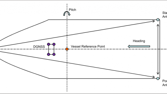
Over the years there has been a requirement to calibrate navigation (heading and motion) sensors and verify DGNSS systems on vessels working in the offshore oil industry. These cal...
Every month we will focus on a specific theme, featuring a selection of articles which have previously been published in Hydro International magazine. to present a complete recap of the subject. If you don't want to miss these themed recaps, sign up for the newsletter (sign up here).
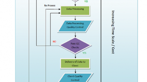
Quality control of survey data is an integral part of any hydrographic survey or inspection operation, but the focus is too often concentrated on the wrong sensors, the carrying ou...
GNSS has now been operational in the surveying industry, and especially in hydrography, for more than 25 years. Whereas the first receivers such as the Sercel NR103 (once the workh...
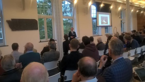
GNSS PPP-RTK Workshop Hosted by the Offshore and Energy Exhibition at the Amsterdam RAI Conference Centre, the Hydrographic Society Benelux presented the GNSS PPP-RTK workshop in t...

The Gemini Offshore Wind Farm in the North Sea is located 85km north of Groningen, The Netherlands. Van Oord, a leading Dredging and Marine Contractor, started the offshore constru...
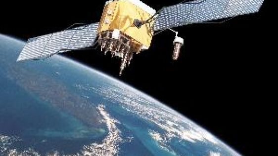
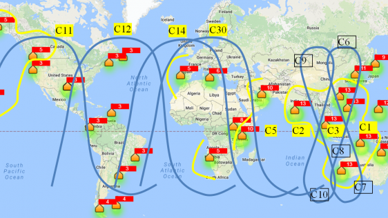
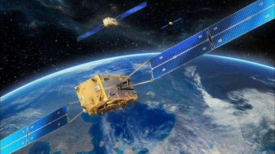
In this feature the current status and future development of four Global Navigation Satellite Systems (GNSS) are briefly presented. These four systems are the American Global Posit...
The original UKOOA Guidelines for the use of differential GPS in offshore surveying, published in 1994, were widely used within the offshore survey industry. In 2005, the Internati...

These are exciting times in the geomatics and hydrographic industry. Innovative solutions are being developed, integration is the main keyword and the big players are acquiring sma...
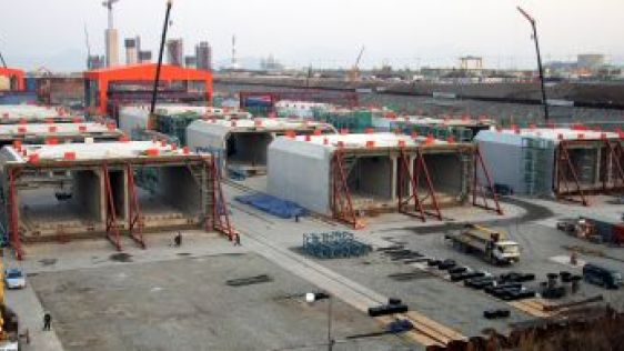
Netherlands-based positioning specialist Geocon was awarded a contract for the immersion of one of the deepest and longest immersed tunnels in the world, in South Korea’s Jin...
Follow Hydro International on Facebook, LinkedIn, Twitter or sign up for the newsletter! Don't miss the latest developments: join Hydro International!
 |  |  |  |
| 14.540 SUBSCRIBERS | 7.245 MEMBERS | 5.205 LIKES | 4.632 |
This site uses cookies. By continuing to use this website, you agree to our Cookies Policy. Agree